| page 1 (images 1-5) | Home | |
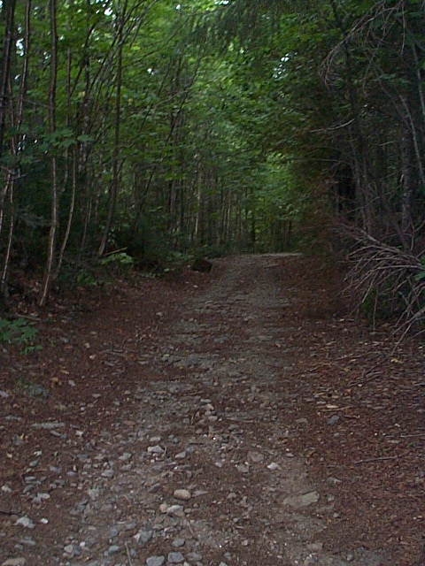 |
R-O-W |
 |
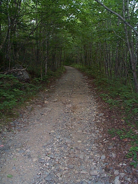
R-O-W |
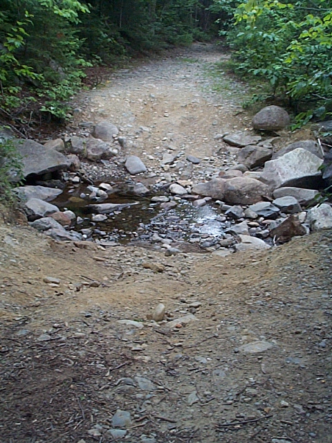 |
Stream
crossing Site of old stream crossing, where most likely there was a small bridge/trestle/culvert. There is evidence of cut stone and some steel cables nearby. |
 |
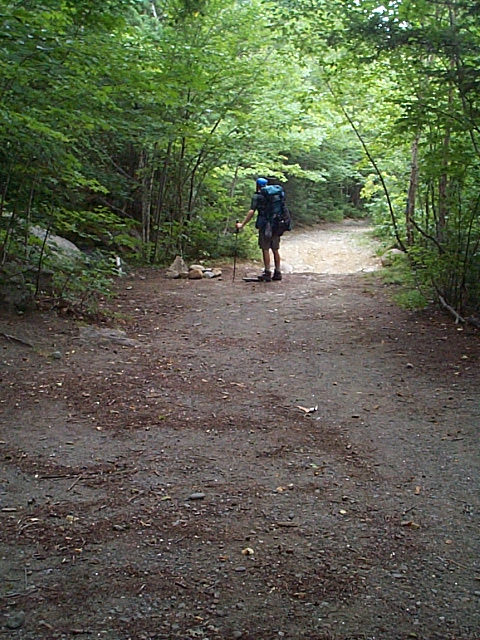
R-O-W |
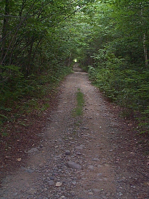 |
R-O-W Very remote. I sure wish you could still ride a train here. |
| page 1 (images 1-5) | Home | |
All
images on these pages © 2004 Benjamin Sullivan, all rights reserved
last updated 10/13/2004