| The Georgetown Branch: Gallery: Georgetown from the Potomac 07/28/2005 - Last Friday a coworker took myself and a few buddies out on his boat up the Potomac for a pleasure cruise. Along the way I snapped some photos of the Georgetown waterfront area. |
|
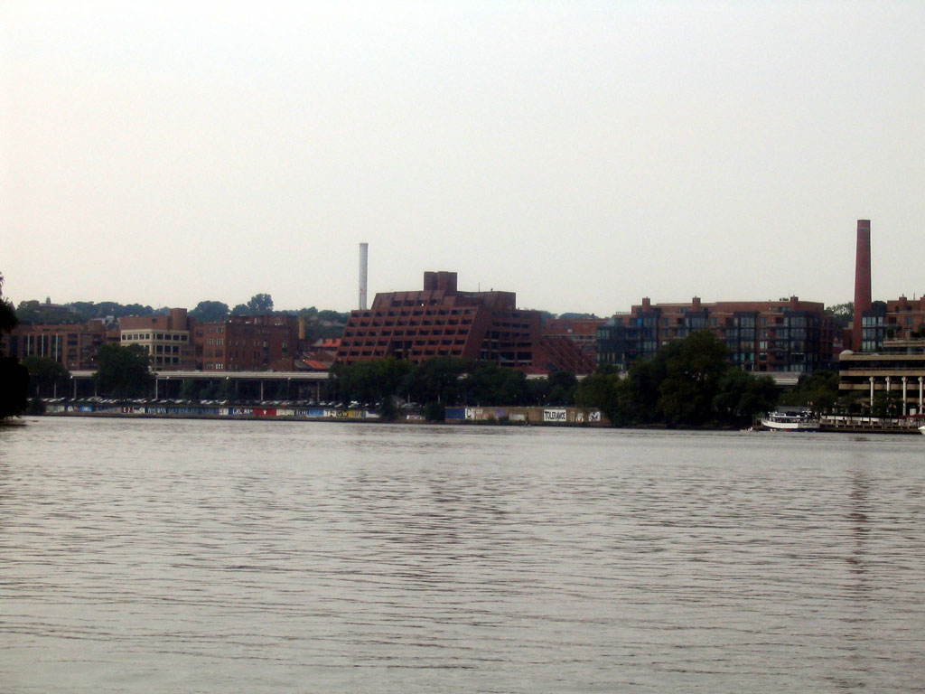 |
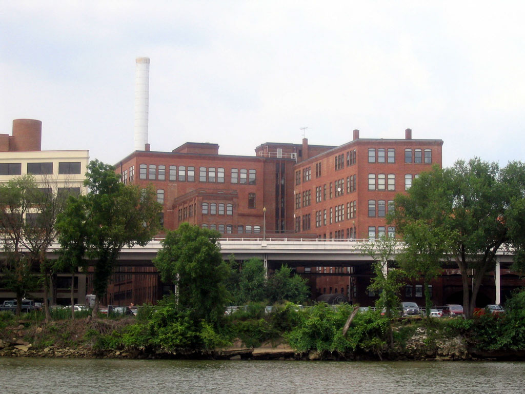
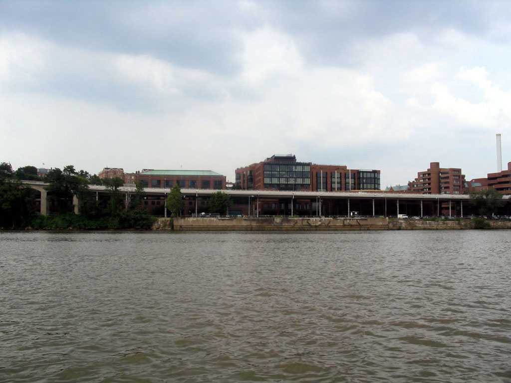
The stack to the right belongs to the Ritz-Carlton hotel. It used to belong to a DC Incinerator. The trees in front of it are the former location of the DC Traction Georgetown Power House. Following to the left, the open space between the trees where you can clearly see the Whitehurst Freeway is the location of the B&O's "new yard", built in the mid 1940's. |
 |
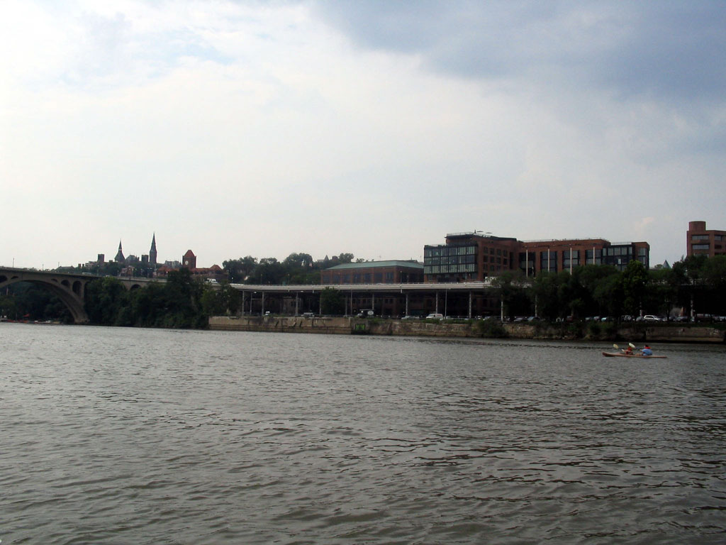
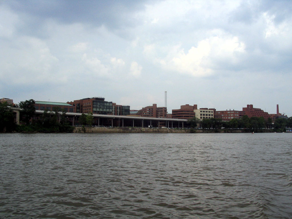
This is the Washington Harbor Complex, office and retail space built atop the site of the B&O's "old yard" at the South end of Georgetown. There were several stone crushers and other industies here at one time. To the right you can see some new construction. This will be the new Sweedish embassy. |
 |
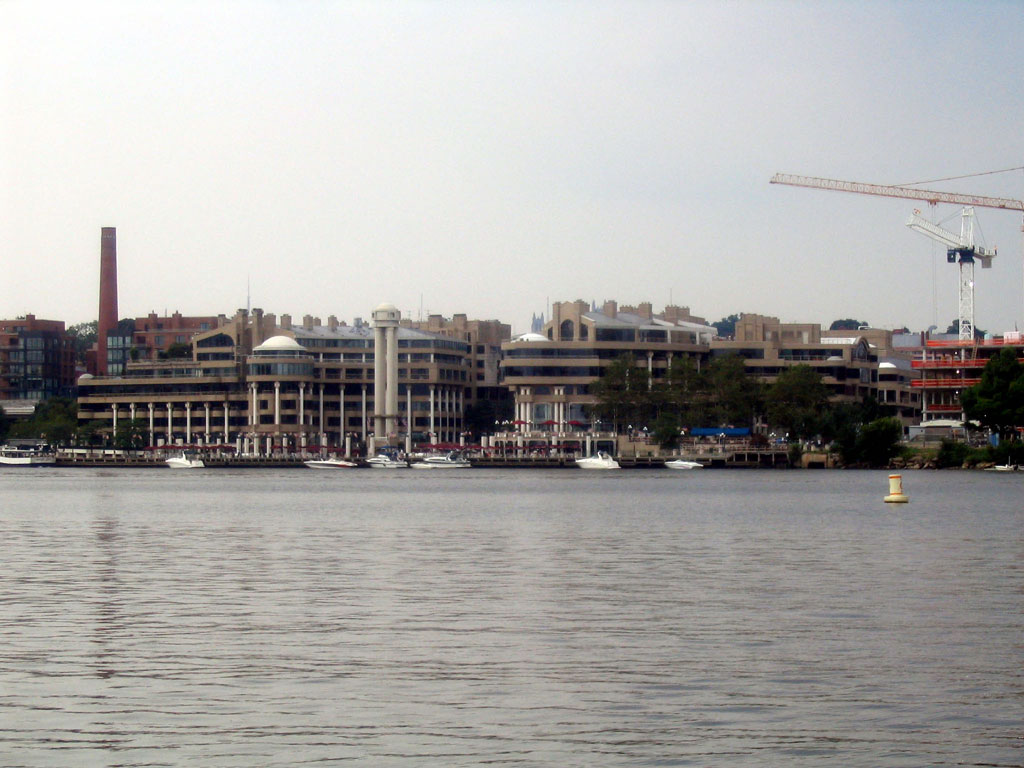
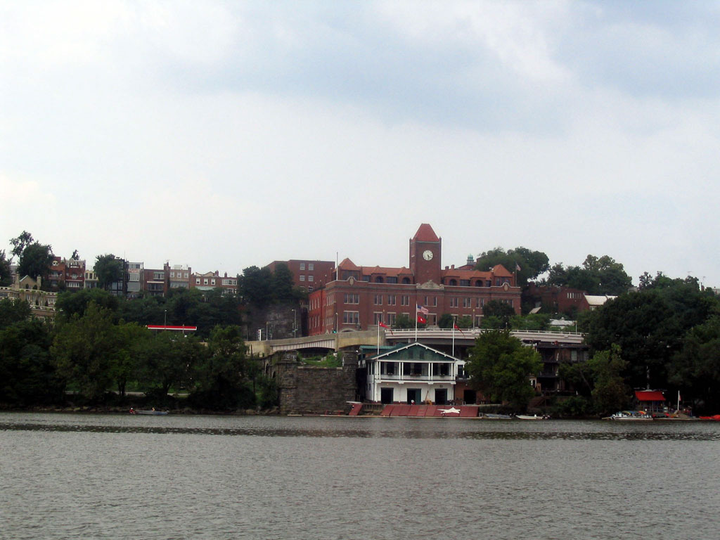
Thompson Boat Center, located right next to the last tidewater lock of the C&O Canal, also known as "Watergate". |
 |
Watergate and hotel of same name off to the right. Remains of the lock can be seen on each side. |
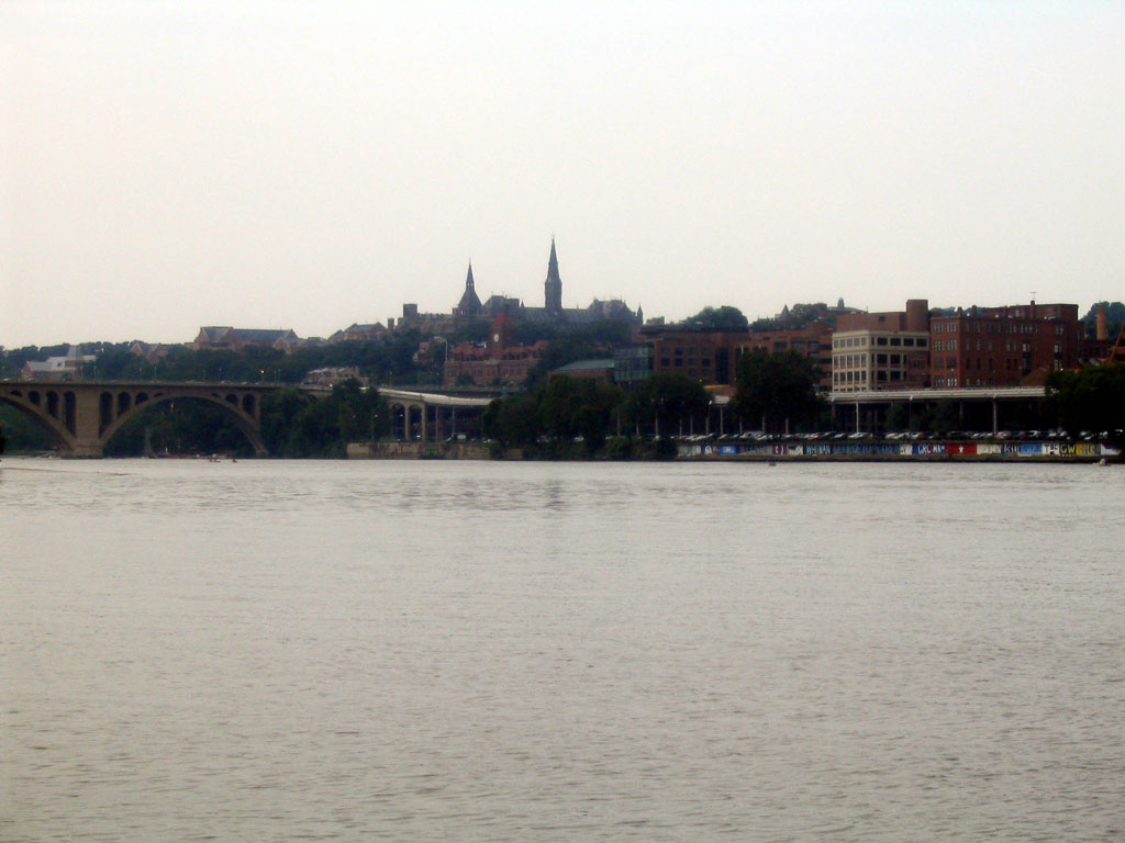 |
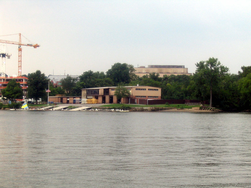
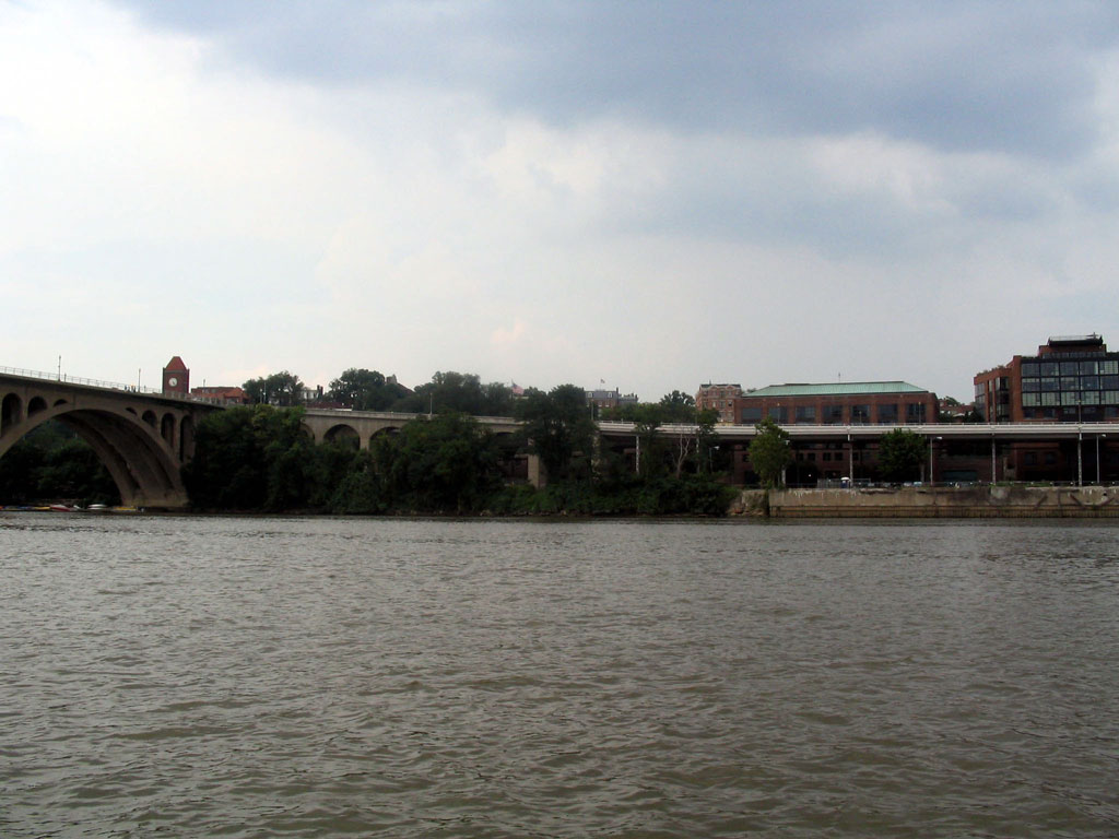
Looking toward the Key Bridge, area where trees are is the former location of the Lone Star cement plant. |
 |
Another view. |
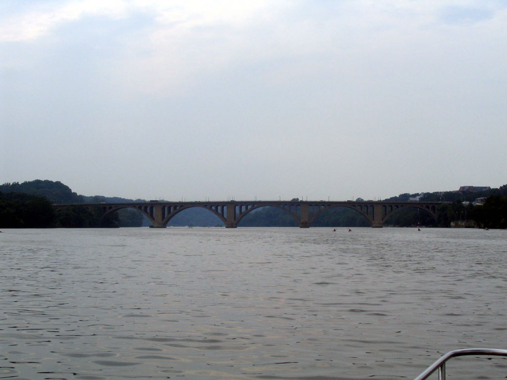 |
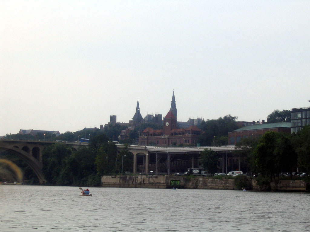
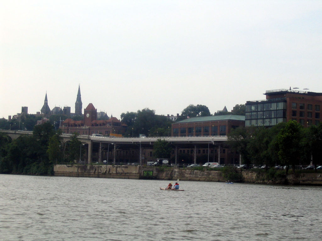
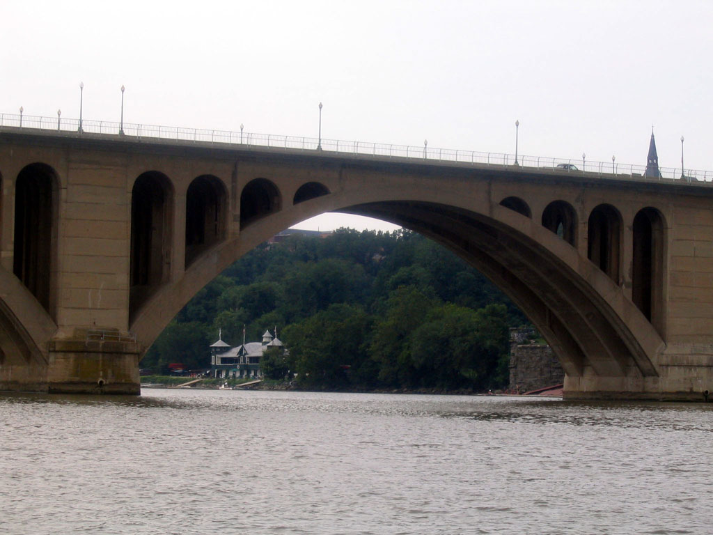
The Key Bridge. |
 |
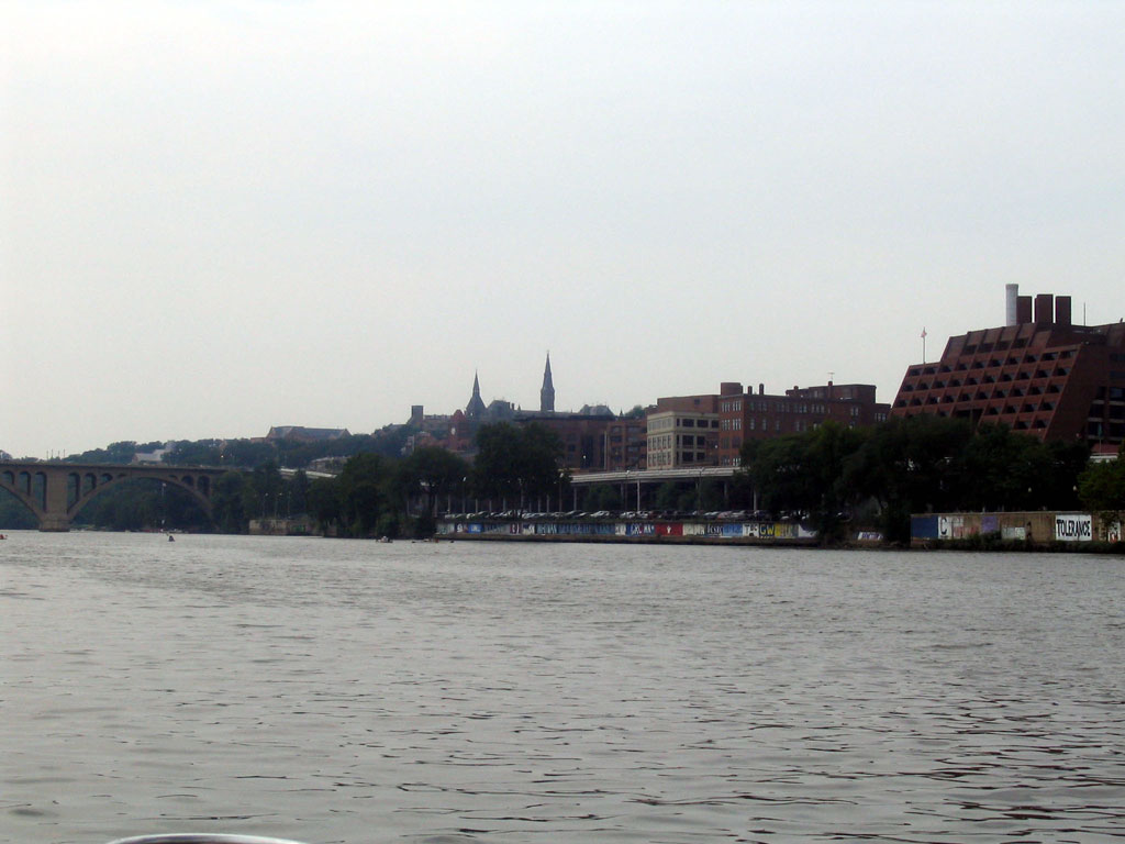
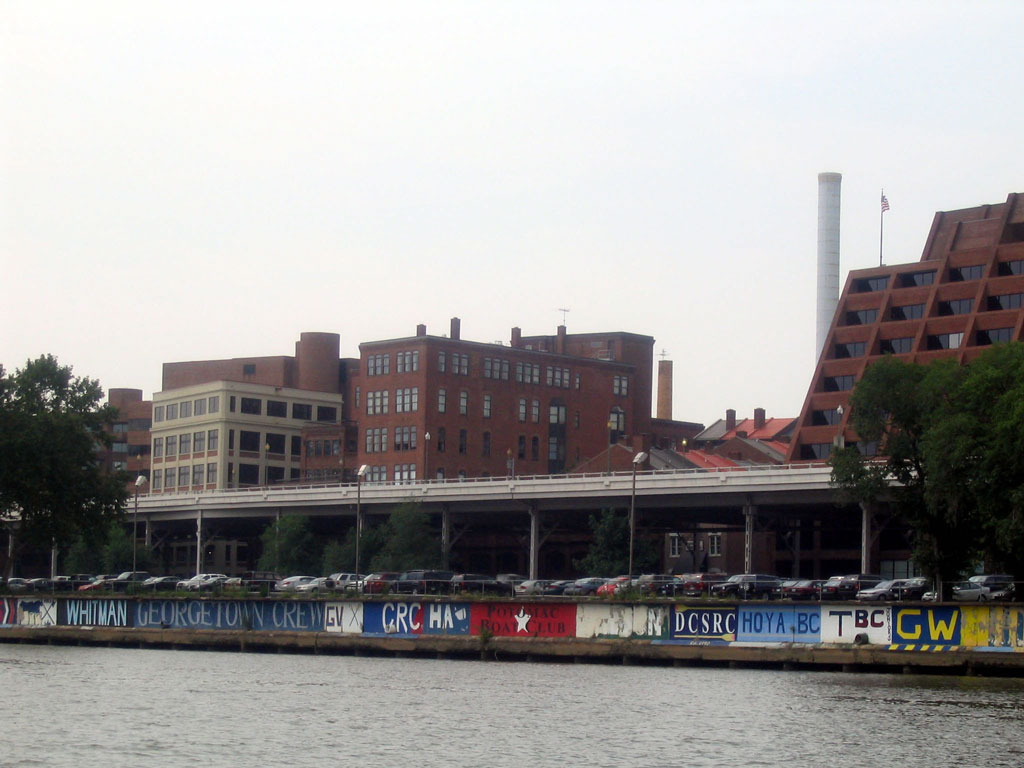
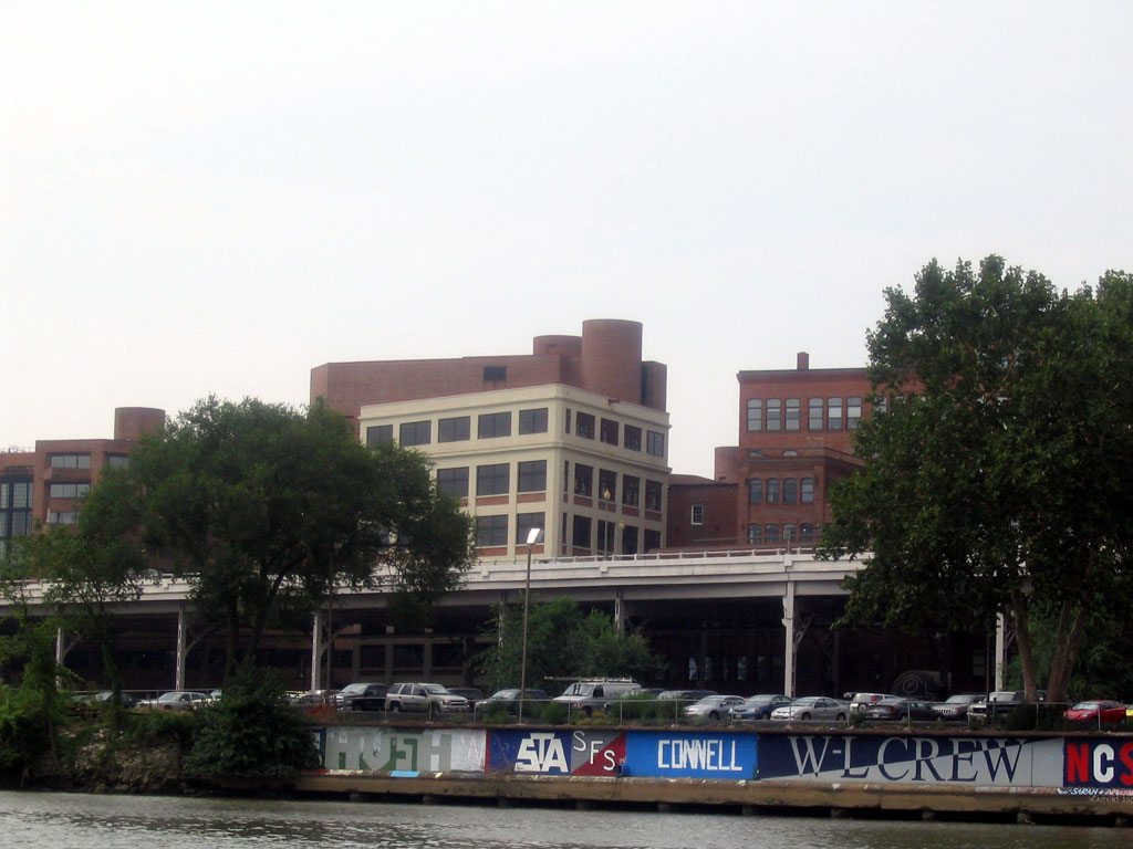
The graffitti on the waterfront wall is mainly from the rowing teams of the various local schools. |
 |
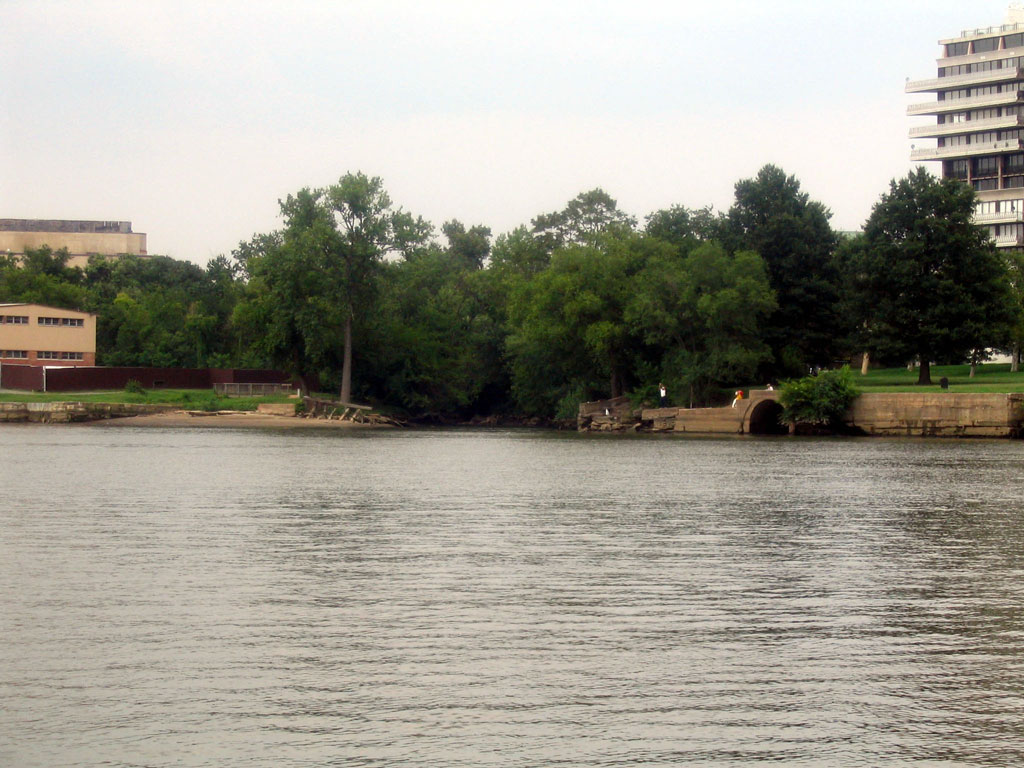
There are still some memorable views in Georgetown, here is one. Compare this photo with this photo shot by W.M. Duvall in 1966. |
 |
Old Flour Mill building. |
 |
Location of Lone Star Cement is in the right side of the frame. If you look carefully at the arrangement of the pilings of the Whitehurst Freeway you can see where the switch lead for Lone Star Cement was located. It's just above and to the left of the delivery truck with the white oval logo. There is a wide opening there where the lead passed to the plant. |
 |
Another view. |
 |
View of some of the older buildings, different angle. |
 |
Wide angle of Lone Star site. |
 |
Waterfront. |
 |
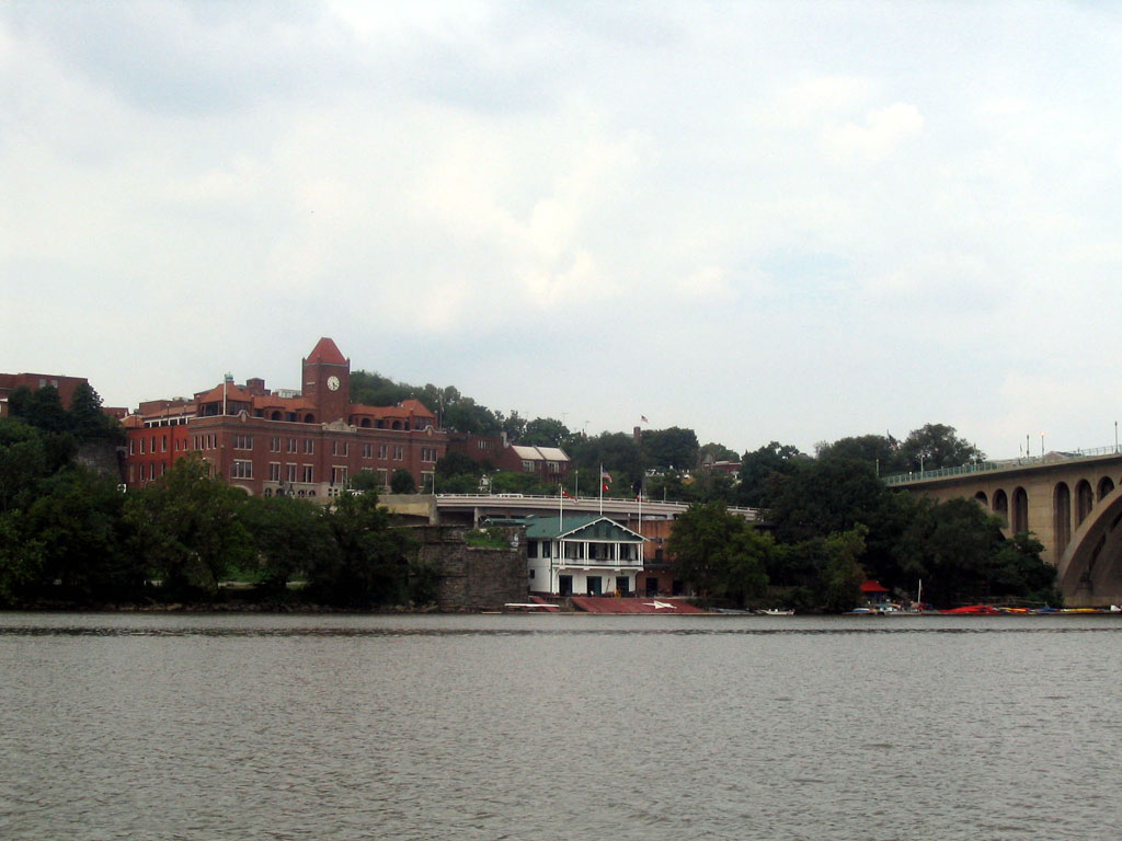
Approaching the Key Bridge, view of the Washington Canoe Club in the background. The Northern abutment of the old Georgetown Aqueduct is peeking out from behind the Key Bridge. |
 |
View of Lone Star Cement site. |
 |
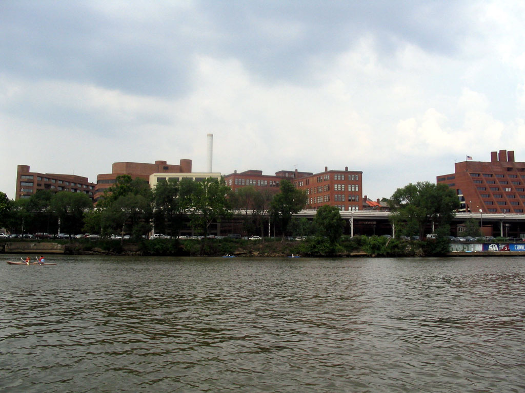
Whitehurst Freeway and location of B&O's "new yard". |
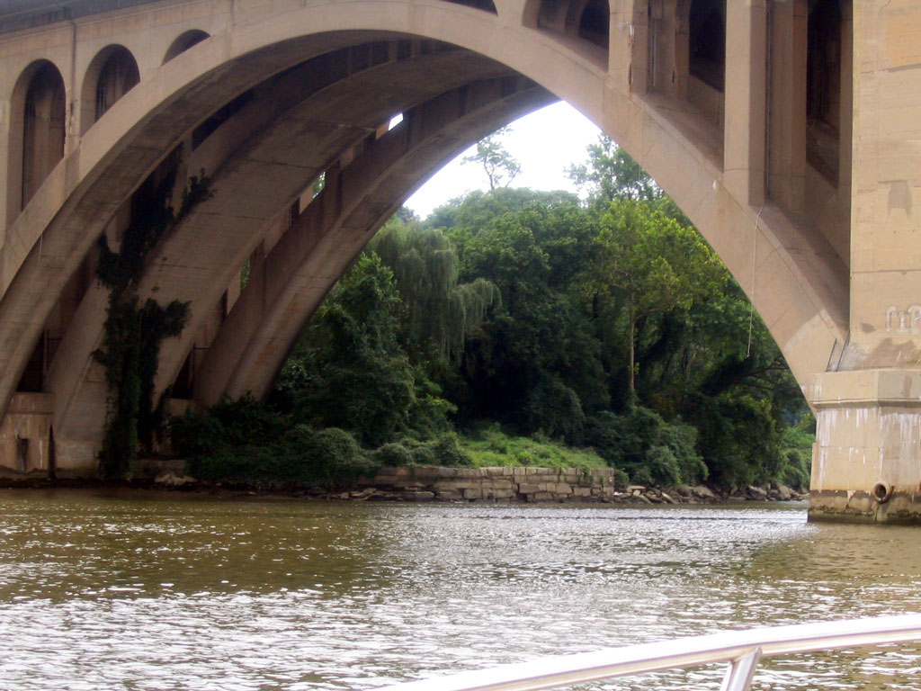 |
Looking under the Southern end of the Key Bridge, we see the remains of the Georgetown Aqueduct South end. |
 |
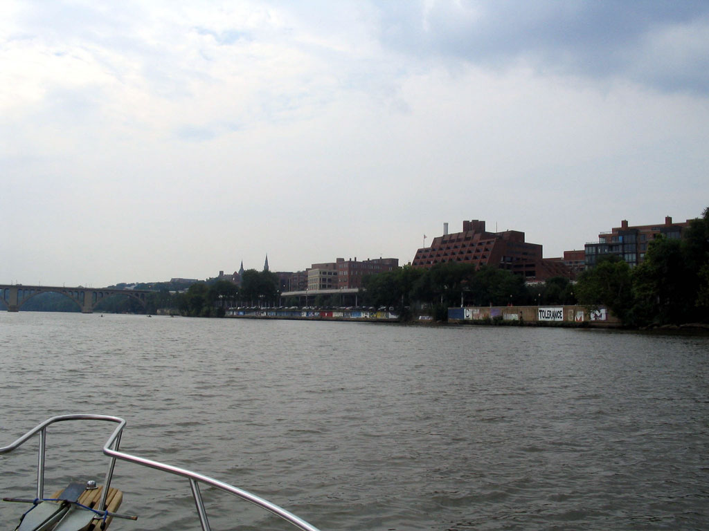
Georgetown waterfront. |
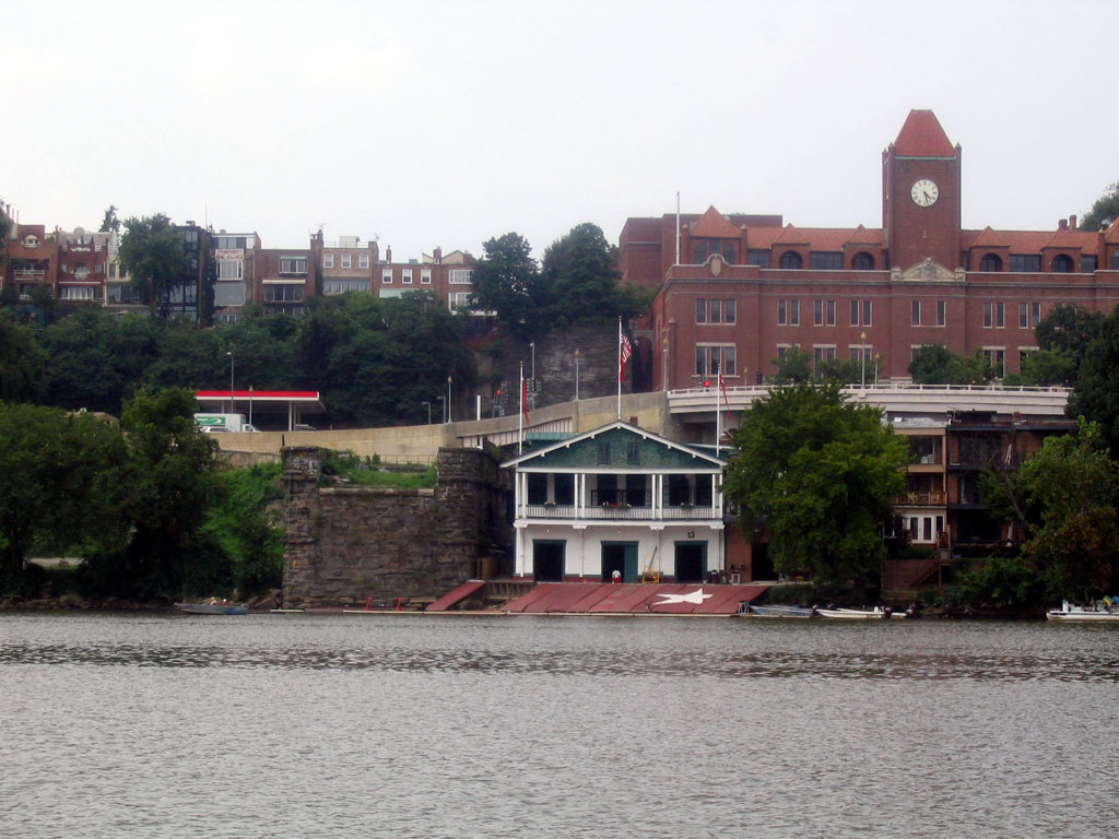 |
To the right is the Capitol Traction Co. Georgetown car barn, AKA. "Union Station" (which was never a success). Along the river is a boathouse right next to the Georgetown Aqueduct Northern abutment. In the background the Whitehurst Fwy. curves to an end on M St. |
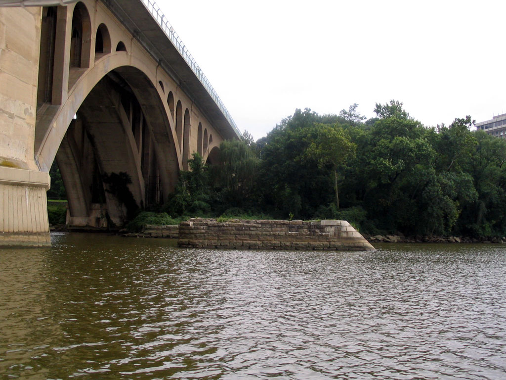 |
Lookng Southward again, we see the last of the pilings left in the river from the Georgetown Aqueduct. The U.S. Army Corps of Engineers blew apart the others so that the rowers could have a clearer channel for racing. |
 |
View of the boathouse, abutment and car barn. The small red-roofed structure to the right, on the water, is Jack's Boathouse, a Georgetown fixture since 1945. Here's a view of the boathouse area ca. 1945, showing some of the Georgetown Branch tracks! The structure in the background, at the top, still exists - see it here. |
 |
One last view of the waterfront as we pass by the Washington Canoe Club. |
| home | news | history | layout | equipment | gallery | links | contact | |