| The Georgetown Branch: Gallery: Tour: From Little Falls Rd. to Georgetown 09/24/2004 - On my commute to work I decided to snap some pics. I took quite a few. Some are of remaining infrastructure and others are of the right-of-way. |
|
 |
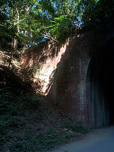
2004_09_13-gb_tour061.jpg Here is the South end, looking Northward. As you can see, the portal is relatively flat. Another difference here is that instead of the date "1910" being spelled out on the wings, it's spelled out on each side of the name atop the arch. |
 |
2004_09_13-gb_tour062.jpg Southwest wing. |
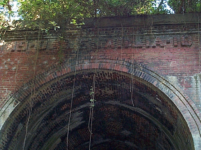 |
2004_09_13-gb_tour063.jpg Here you can see the name atop the arch of the tunnel. It reads "19 - DALECARLIA - 10". |
 |
2004_09_13-gb_tour064.jpg Southeast wing. |
 |
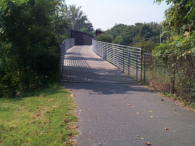
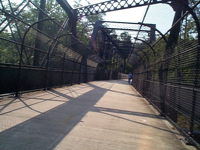
2004_09_13-gb_tour065.jpg MP 6.5, Bridge over Glen Echo line of Capital Traction Co. Here the GB crossed over the double-track trolley line. When the line was abandoned, the cut was filled in up to the bridge. (when I walked the line back in '91, I thought this was a low trestle - when in fact it was just a bridge.). The Crescent trail reworked the supports, added a HUGE second bridge, and reinstalled the original span to allow for workers at the Reservoir to pass beneath the trail. |
 |
2004_09_13-gb_tour066.jpg Here is the original span, the Southernmost of the two big bridges. |
 |
2004_09_13-gb_tour067.jpg Here is the North end of the bridges, facing South. |
 |
2004_09_13-gb_tour068.jpg And the South end, facing North. Here there was a large unloading facility for liquid and solid Chlorine. |
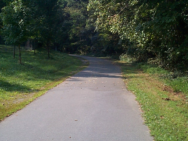 |
2004_09_13-gb_tour069.jpg The track curves South after the reservoir, heading down the Palisades. This is the location where the B&O considered a connection with the South. A bridge would have spanned the Potomac (out of sight, straight ahead) and on into Virginia to meet up with the southern connections. It never materialized, as we know, but would have altered the face of the Georgetown Branch to say the least. |
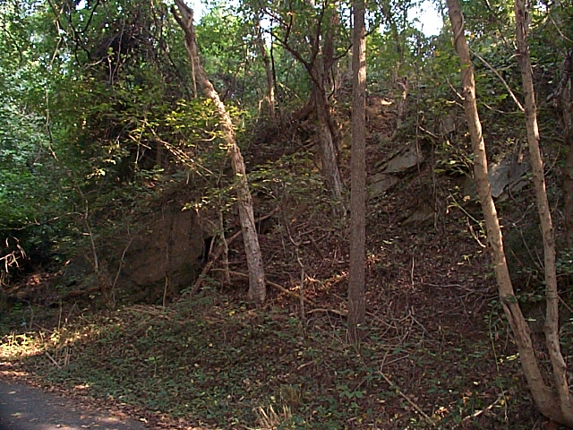 |
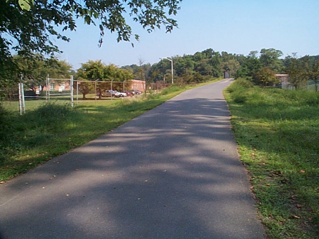
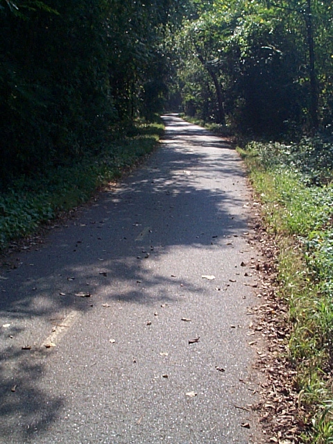
2004_09_13-gb_tour070.jpg Terrain along the way, near MP 7.5. |
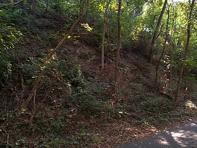 |
2004_09_13-gb_tour071.jpg More terrain. |
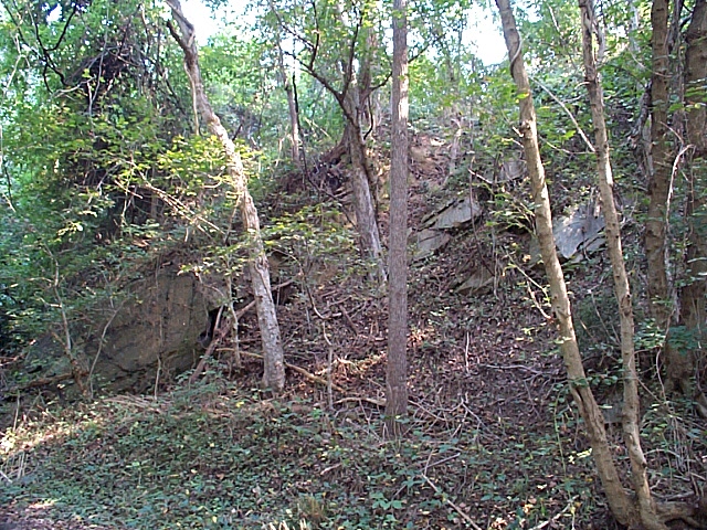 |
2004_09_13-gb_tour072.jpg More terrain. |
 |
2004_09_13-gb_tour073.jpg At MP 7.5 on the West side of the tracks is a long pile of old ties rotting away. There is plenty of poison ivy, so don't go poking around. There is lots of ballast & even some old rail! See below... |
 |
2004_09_13-gb_tour074.jpg This is the whole area where the old ties are found. |
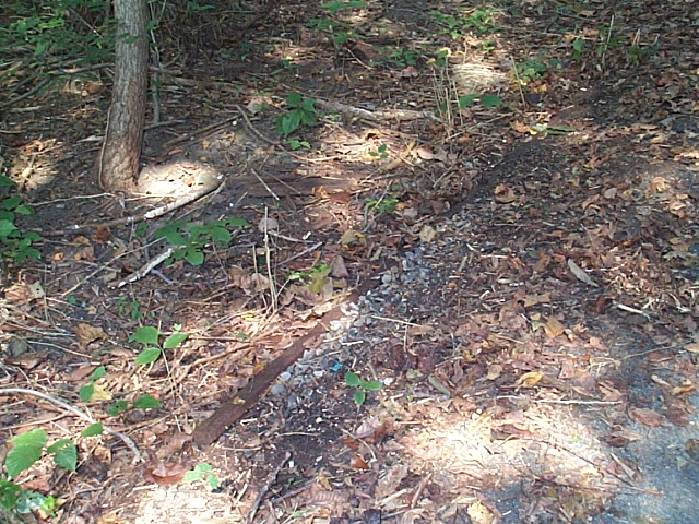 |
2004_09_13-gb_tour075.jpg An old piece of rail buried in the dirt. About 6' showing. |
 |
2004_09_13-gb_tour076.jpg Here the r-o-w swings left and then a quick right as it approaches the 3 bridges over the C&O Canal and Canal Rd. I have a whole page dedicated to these bridges; click here. |
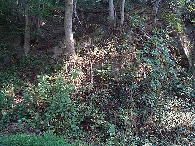 |
2004_09_13-gb_tour077.jpg Terrain. |
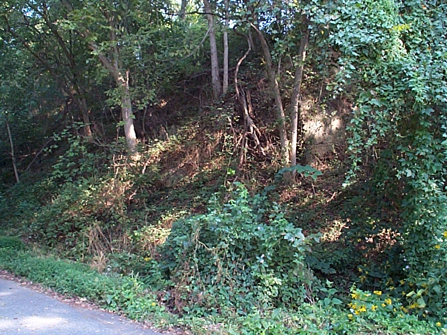 |
2004_09_13-gb_tour078.jpg Terrain. |
 |
2004_09_13-gb_tour079.jpg MP 7.7, Action shot, passing over Canal Rd. on one of the 3 bridges. |
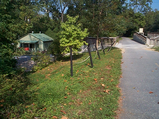 |
2004_09_13-gb_tour080.jpg MP 8.2, Fletcher's Boathouse. View is Northward. Boathouse & Potomac R. is to the left, C&O Canal to the right. |
| Continue to next page: Page 1 | Page 2 | Page 3 | Page 4 | Page 5 | Page 6 | Page 7 | Page 8 | Page 9 home | news | history | layout | equipment | gallery | links | contact |
|
email: cpl_clegg@yahoo.com |
|