| The Georgetown Branch: Gallery: Tour: From Little Falls Rd. to Georgetown 09/24/2004 - On my commute to work I decided to snap some pics. I took quite a few. Some are of remaining infrastructure and others are of the right-of-way. |
|
 |
2004_09_13-gb_tour121.jpg And here is the Western support for the old pedestrian bridge. |
 |
2004_09_13-gb_tour122.jpg An overall view of the remaining structure. |
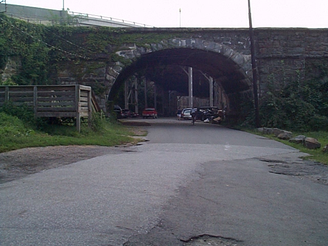 |
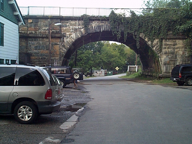
2004_09_13-gb_tour123.jpg MP 10.3: Old canal aqueduct bridge, ca. 1850's. This was originally built to conect with the Alexandria Canal near the other side of the Potomac River. Later it became a pedestrian/vehicle/trolley/railroad bridge. This particular arch was enlarged at some point to allow the larger B&O trains to pass beneath. Some history here. Here is a photo of the bridge, ca. 1865 on Zazzle.com. |
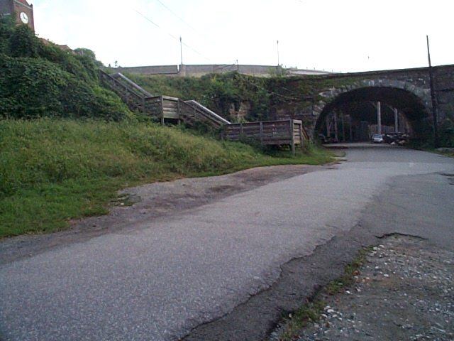 |
2004_09_13-gb_tour124.jpg A wider shot, there was a railroad scale house located here. |
 |
2004_09_13-gb_tour125.jpg Another wide shot. Here you can see the original, unaltered arch. In the grass clearing to the right were located 3 other boat houses, all gone. |
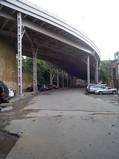 |
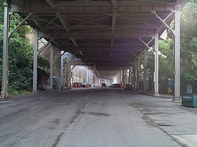
2004_09_13-gb_tour126.jpg Passing under the aqueduct bridge, we are under one end of the Whitehurst Freeway. Built in the late 1940's it provided a way for traffic to escape the city without having to navigate the congested Georgetown area. It was widened and extended at some point. There was also a plan to extend the Freeway on up the C&O Canal r-o-w as the "Potomac River Freeway". This of course never materialized. |
 |
2004_09_13-gb_tour127.jpg ALooking back at the Aqueduct arch, in faded paint is the old B&O stencil indicating the aqueduct bridge was considered Bridge #24 on the Georgetown Branch. Sencil is located on Northeast abutment. |
 |
2004_09_13-gb_tour128.jpg A little farther East and we're under the Whitehurst Fwy. |
 |
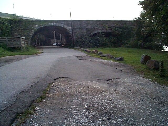
2004_09_13-gb_tour129.jpg Facing West, this is the East side of the Aqueduct. There was a switch located under the Aqueduct, on the West side. The track continued on double-track all the way through Georgetown to the East. |
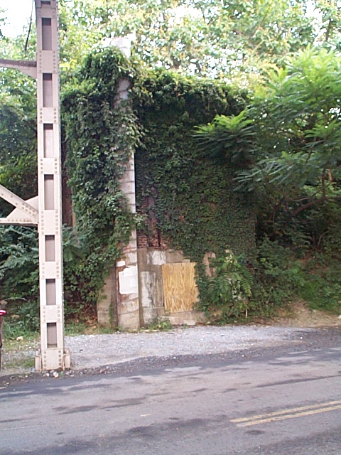 |
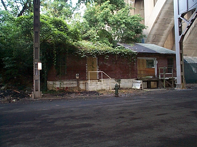
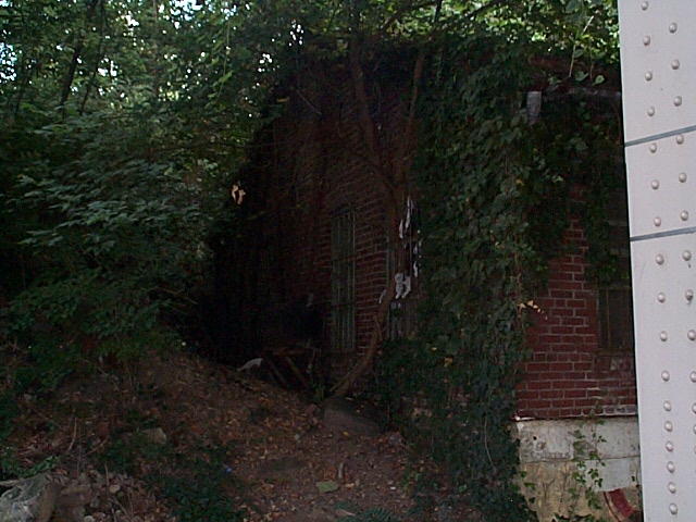
2004_09_13-gb_tour130.jpg MP 10.4: There are a handful of relics down here at the waterfront, this old structure is one. No idea what it's used for; all the maps I have indicate it as abandoned. |
 |
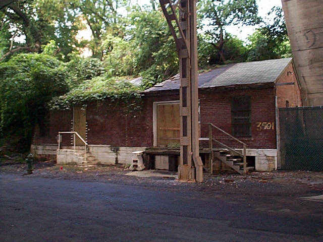
2004_09_13-gb_tour131.jpg 3501 Water St. This warehouse is most interesting. Located directly below the Key Bridge (visible to the right) it has a huge hole in the roof and should have been razed long ago. Luckily, it survives. Not sure it was ever served by rail. |
 |
2004_09_13-gb_tour132.jpg Southeast corner. |
 |
2004_09_13-gb_tour133.jpg Closeup of window. |
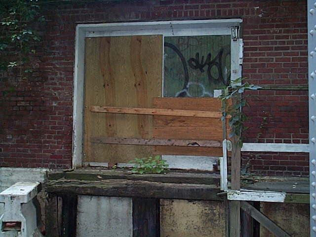 |
2004_09_13-gb_tour134.jpg Loading dock. |
 |
2004_09_13-gb_tour135.jpg Ground in front. Lined with brick laid in a herringbone pattern. |
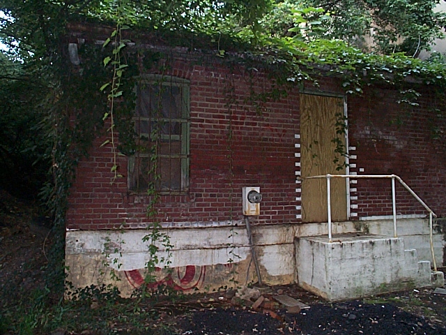 |
2004_09_13-gb_tour136.jpg Southwest corner. |
 |
2004_09_13-gb_tour137.jpg West side. |
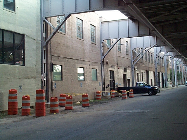 |
2004_09_13-gb_tour138.jpg MP 10.4: Georgetown structures. Some older structures, now used as offices. Maps I have indicate that this building was once Benizer Brewery, then later Creamery; the Chevy Chase Dairy, IIRC. |
 |
2004_09_13-gb_tour139.jpg Closeup. |
 |
2004_09_13-gb_tour140.jpg East end, 34th St. & Water St. Health club in lower level, moving company behind. Roof is painted silver with many vents poking out. |
| Continue to next page: Page 1 | Page 2 | Page 3 | Page 4 | Page 5 | Page 6 | Page 7 | Page 8 | Page 9 home | news | history | layout | equipment | gallery | links | contact |
|
email: cpl_clegg@yahoo.com |
|