| The Georgetown Branch: Gallery: Tour: From Little Falls Rd. to Georgetown 09/24/2004 - On my commute to work I decided to snap some pics. I took quite a few. Some are of remaining infrastructure and others are of the right-of-way. |
|
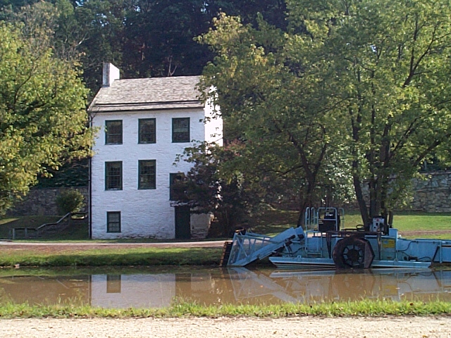 |
2004_09_13-gb_tour081.jpg Across the C&O Canal is the Abner Cloud house, built in 1801 it's the oldest structure on the Canal. Used as a residence & storage building. |
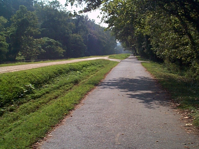 |
2004_09_13-gb_tour082.jpg MP 8.3 |
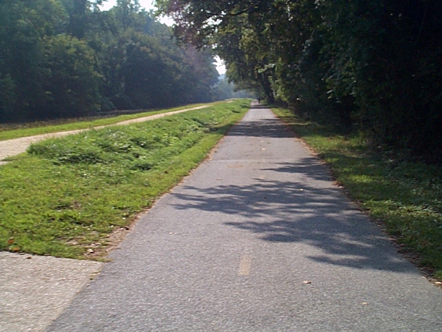 |
2004_09_13-gb_tour083.jpg MP 8.4 |
 |
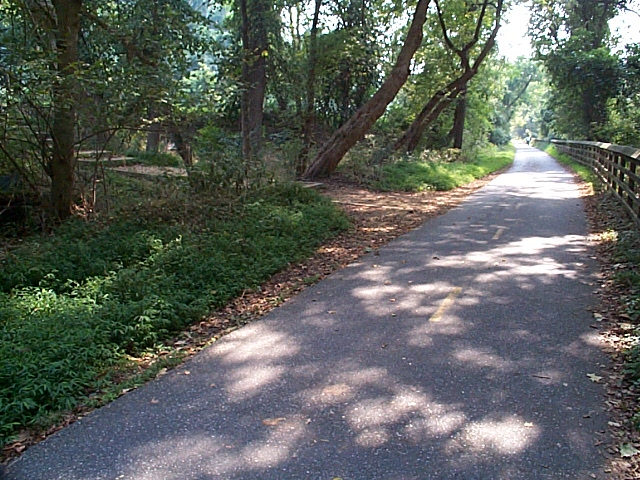
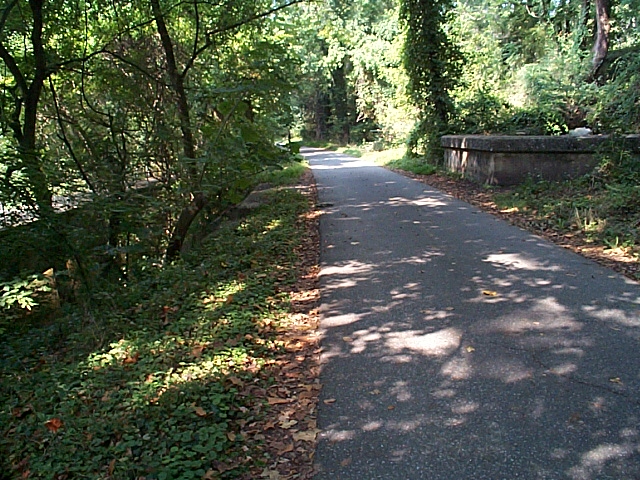
2004_09_13-gb_tour084.jpg MP 9.0. Here the r-o-w drops beneath the level of the canal. |
 |
2004_09_13-gb_tour085.jpg At this location, in the 1870's an inclined plane was built to lower Canal barges down to a tidewater lock below. The thought was to relieve the traffic congestion in Georgetown. Unfortunately, about as soon as it was built it was not needed, as traffic declined and would never return to the C&O Canal. In 1908-1910 when the Georgetown Branch was completed through, they built the r-o-w right over the old inclined plane. Elements of it are still visible today, most notably one wall, the lock, and all the ruins of the tidewater lock below. Barges were lowered onto huge caissons on rails, which were lowered down the plane using counterweights. More info can be found here on the NPS website. This view looks Eastward, with the C&O Canal to the left. The plane began just about where those steps are. |
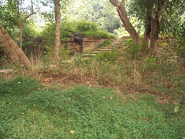 |
2004_09_13-gb_tour086.jpg Another view of the steps, showing where the lock was. The plane began here. |
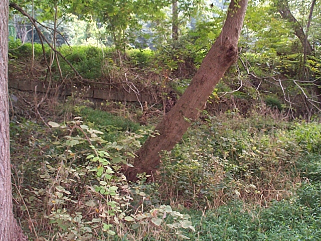 |
2004_09_13-gb_tour087.jpg Here, behind the brush, you can see the wall of the incline plane. The angle of descent is evident too. |
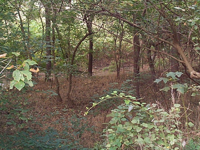 |
2004_09_13-gb_tour088.jpg Standing just past the plane, and looking down towards the Potomac River, we see the river-level lock where the boats floated into the Potomac from the inclined plane. Many ruins are down there, not too visible in the summer, though. |
 |
2004_09_13-gb_tour089.jpg Another view of the river lock, the South end. I need to come back in the winter when there's no leaves to get better pics. |
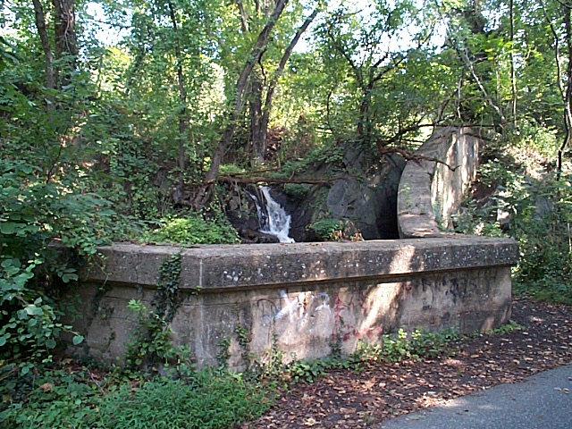 |
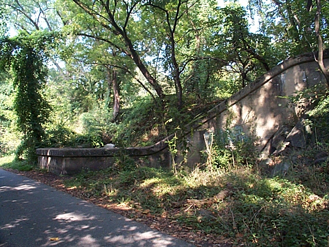
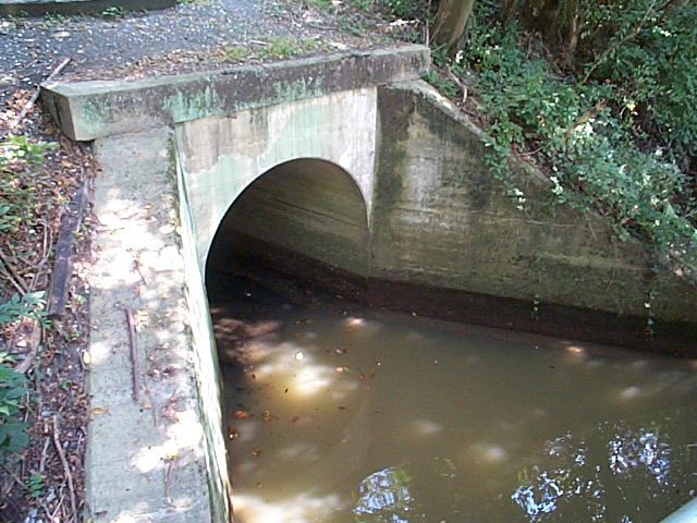
2004_09_13-gb_tour090.jpg MP 9.8: B&O Bridges #22 & #23. Both poured concrete, they provide for drainage from the C&O Canal above. Here is the top of #23; they had to build a wall right into the stone to prevent the water from spilling over onto the r-o-w. It cascades down a waterfall to the channel below. |
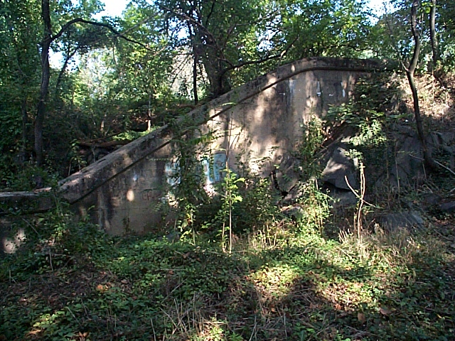 |
2004_09_13-gb_tour091.jpg The Southern wall. |
 |
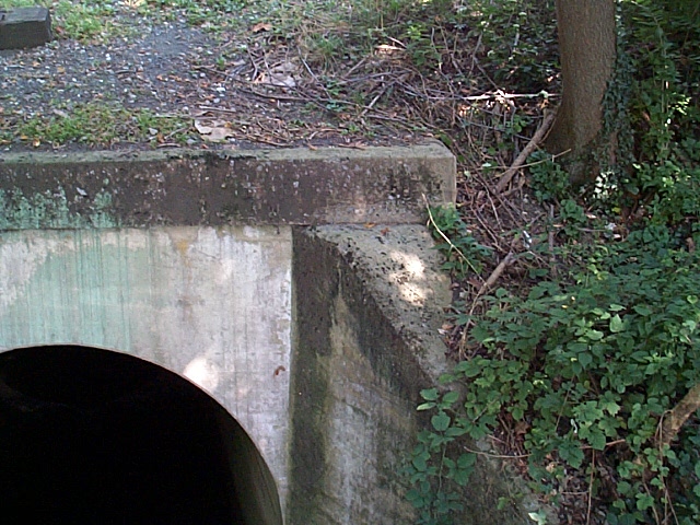
2004_09_13-gb_tour092.jpg An overall view of the top of #23. |
 |
2004_09_13-gb_tour093.jpg #23 in the foreground, #22 just beyond. Note, there are no railings on the sides here. |
 |
2004_09_13-gb_tour094.jpg Just a bit farther there is a tunnel beneath the C&O Canal. This used to serve the various industries and boathouses along the Potomac riverfront which are all but gone now. The area directly behind me is all scrub brush, where there used to be houses and other buildings. |
 |
2004_09_13-gb_tour095.jpg Back at Bridge #23, here are some shots of the cascading waterfall. This one is to the East. |
 |
2004_09_13-gb_tour096.jpg And this one is to the West. |
 |
2004_09_13-gb_tour097.jpg There is another bridge (actually an aqueduct, I think) just out from brige #23 & #22 which is great for taking pics! This is bridge #22. |
 |
2004_09_13-gb_tour098.jpg Detail of Bridge #22. This corner would have the bridge number stenciled on it, but it has worn off over time. |
 |
2004_09_13-gb_tour099.jpg You can see the water under bridge #22 is pretty still... |
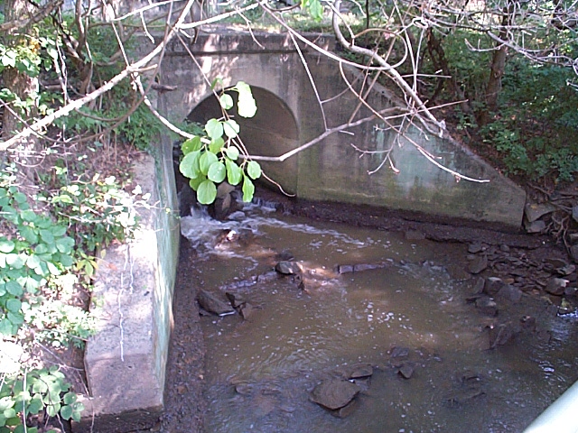 |
2004_09_13-gb_tour100.jpg Whereas bridge #23 is another story, with water cascading down the waterfall above and under the r-o-w. |
| Continue to next page: Page 1 | Page 2 | Page 3 | Page 4 | Page 5 | Page 6 | Page 7 | Page 8 | Page 9 home | news | history | layout | equipment | gallery | links | contact |
|
email: cpl_clegg@yahoo.com |
|