| The Georgetown Branch: Gallery: Tour: From Little Falls Rd. to Georgetown 09/24/2004 - On my commute to work I decided to snap some pics. I took quite a few. Some are of remaining infrastructure and others are of the right-of-way. |
|
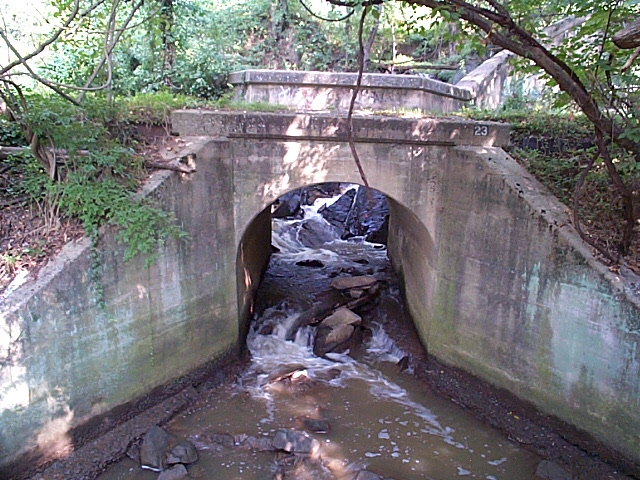 |
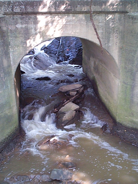
2004_09_13-gb_tour101.jpg A frontal view of B&O Bridge #23. You can really get a nice lay-of-the-land idea from this view, with the waterfall behind. |
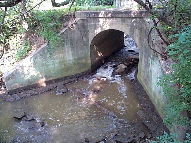 |
2004_09_13-gb_tour102.jpg Another view of #23. |
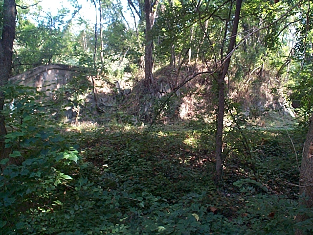 |
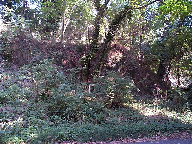
2004_09_13-gb_tour103.jpg Terrain above. |
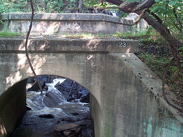 |
2004_09_13-gb_tour104.jpg #23 detail - note bridge number stencil. |
 |
2004_09_13-gb_tour105.jpg Closeup on #23 arch. |
 |
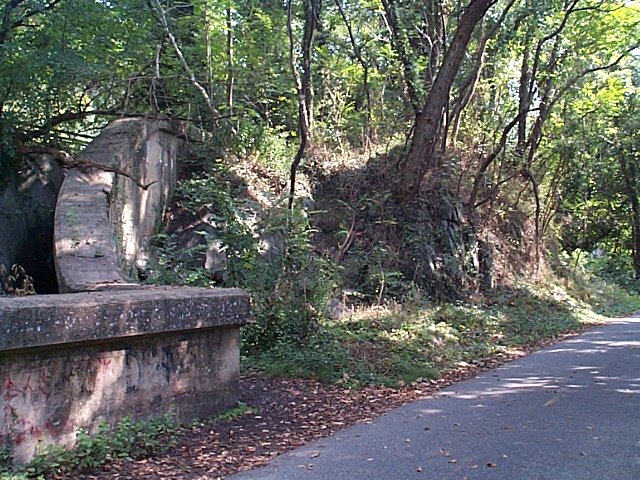
2004_09_13-gb_tour106.jpg Bridge #22 Southeastern abutment detail. Erosion provides for a view of the footer here. |
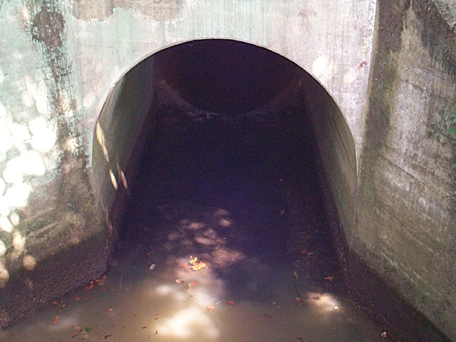 |
2004_09_13-gb_tour107.jpg A closeup of #22's arch gives us an answer as to why it is quieter. This bridge serves to allow outflow of a brick-lined sewer, most likely a storm drain, visible beneath the arch. |
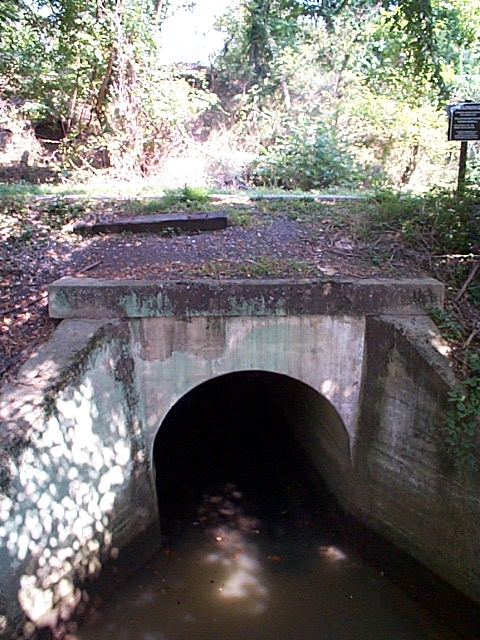 |
2004_09_13-gb_tour108.jpg #22 and its environs. |
 |
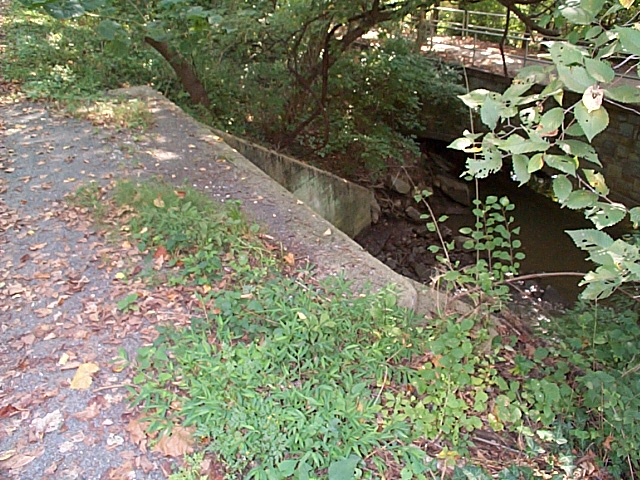
2004_09_13-gb_tour109.jpg This is the aqueduct/bridge that I took the photos from. To the right is the Potomac River, to the Left is the GB. |
 |
2004_09_13-gb_tour110.jpg A view of the top of #22. |
 |
2004_09_13-gb_tour111.jpg Terrain above Bridge #23. |
 |
2004_09_13-gb_tour112.jpg Top of Bridge #23. |
 |
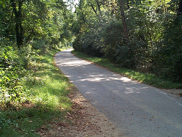
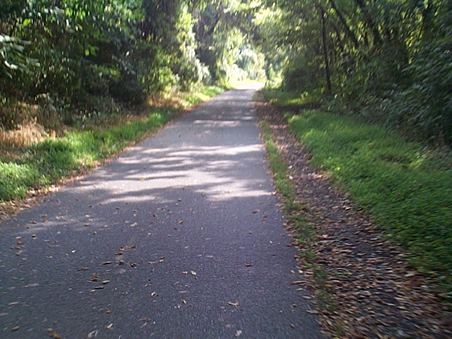
2004_09_13-gb_tour113.jpg Terrain East of Bridge #23. |
 |
2004_09_13-gb_tour114.jpg More terrain East of Bridge #23. |
 |
2004_09_13-gb_tour115.jpg MP 10.0: Passing siding. Here there was a long passing siding to allow trains coming into/going out of Georgetown to dump their trains or build them up. The switch was located in the near foreground and the siding extended to just out of view. |
 |
2004_09_13-gb_tour116.jpg Standing in the same area as the previous photo, now facing North, looking towards the C&O Canal. There is a tall wall here, between the Canal & the GB r-o-w. It lines up perfectly with the GB alignment which leads me to believe that at some point, probably near the turn of the century, there was a siding here for carts/trains to unload coal for use in the Georgetown waterfront area. The Georgetown, Barge, Dock, Elevator & Railway Co. was a predecessor to the GB and probably used this form of transportation. This may have just been a retaining wall, but I will still have my suspicions. |
 |
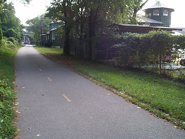
2004_09_13-gb_tour117.jpg A bit closer to Georgetown now, there were more sidings that branched off to the right to serve some businesses. Very little evidence remains, all of this area is scrub now. |
 |
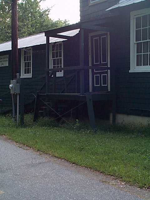
2004_09_13-gb_tour118.jpg MP 10.2: Approaching the Georgetown waterfront, we pause to see one of the oldest landmarks. This building houses the Washington Canoe Club. Built in 1904, this building has seen tough times. Once it even floated away... they jacked it up and put it back on its foundations! At the end of this structure is where the passing siding ended. There was also an overhead pedestrian bridge located where the telephone pole is now. |
 |
2004_09_13-gb_tour119.jpg Here was the overhead bridge. Stubs of the original supports are still in place. The bridge provided access from the C&O Canal above to the boathouses here. |
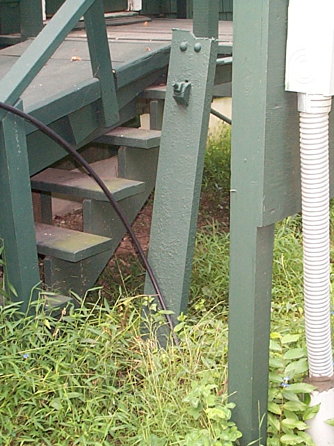 |
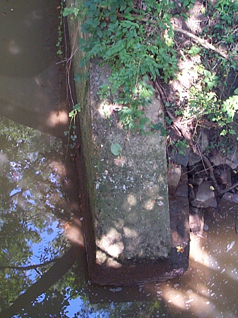
2004_09_13-gb_tour120.jpg Here is the Eastern support, closeup. |
| Continue to next page: Page 1 | Page 2 | Page 3 | Page 4 | Page 5 | Page 6 | Page 7 | Page 8 | Page 9 home | news | history | layout | equipment | gallery | links | contact |
|
email: cpl_clegg@yahoo.com |
|